PRE-RERA · EOIs are refundable; bookings convert after registration.

THE PLACE

Kandukuru, made specific.

Kandukuru Village, Kandukuru Mandal, Rangareddy District — the S-Cube County locality, on the Srisailam Highway corridor.

map embed with pin — [TBD: survey numbers, lat-long, Plus Code]
FCDA notified zone. The Future City Development Authority zone marks this corridor for government-backed, long-term infrastructure investment — roads, utilities and civic planning committed ahead of growth.

Drive times

RGIA Airport [TBD — peak/off-peak]
Gachibowli [TBD — peak/off-peak]
HITEC City [TBD — peak/off-peak]
Outer Ring Road (ORR) [TBD — peak/off-peak]
Pharma City [TBD — peak/off-peak]

Drive times publish only after they are measured — peak and off-peak, both.

Nearby

Hospital [TBD — named]
Diagnostic center [TBD — named]
Temple [TBD — named]
School [TBD — named]
Retail [TBD — named]
Police station [TBD — named]

The Pharma City corridor

Over 150 companies, including major pharmaceutical names, anchor the adjacent employment hub — long-term demand for housing, services and rental occupancy along this corridor.
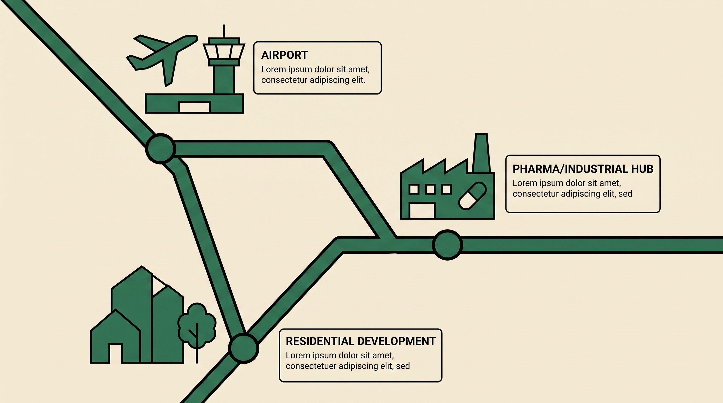
Illustrated corridor map linking the airport, Pharma City, and the residential development

The campus

Master site plan [TBD — currently missing]

campus master site plan — entry, clubhouse, temple, pool, parking [TBD]
photo: approach road [TBD]
photo: neighbourhood [TBD]
photo: S-Cube County locality [TBD]
Client Preview

Switch between site editions to compare: